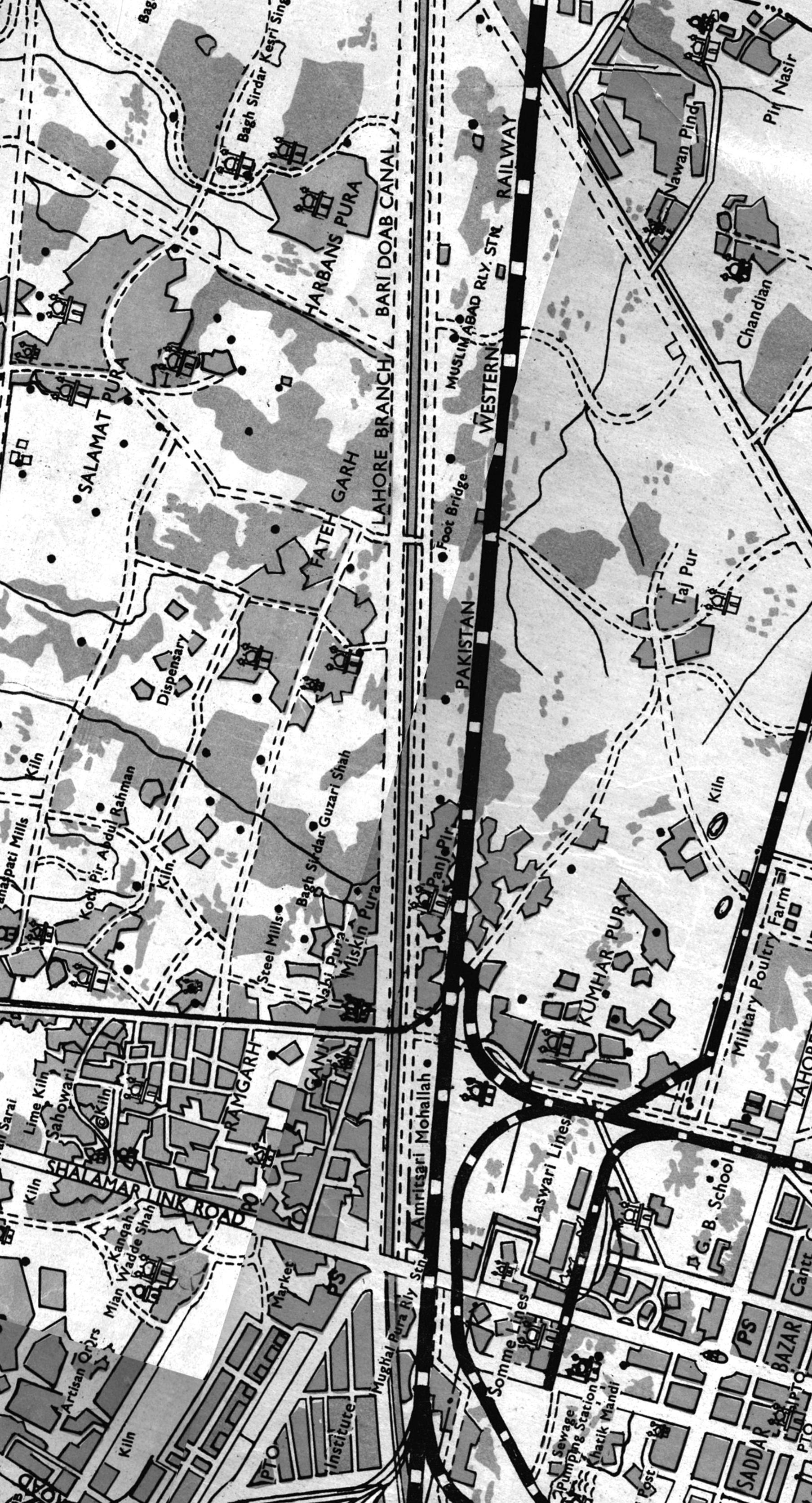
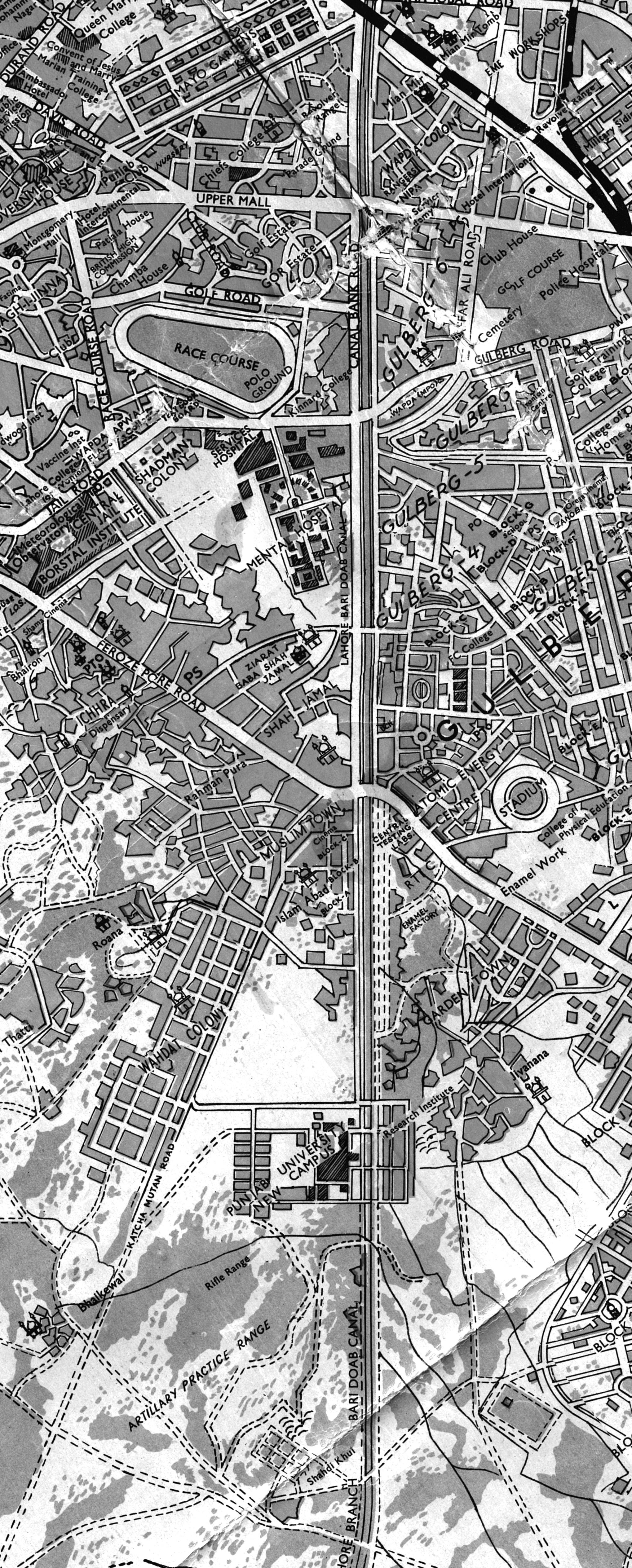
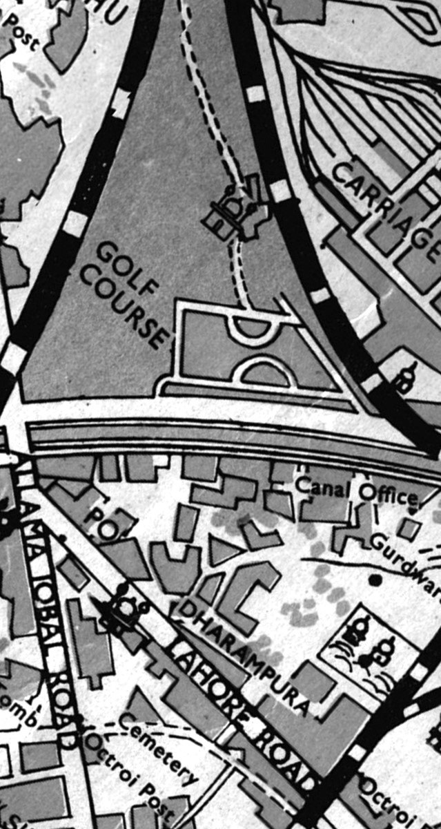
Contemporary urban development processes, particularly the expansion of road infrastructure and speeding up of vehicular movement, manifest in urban environment in the form of new boundaries for the pedestrians. This is apparent across Lahore, particularly on the roads along the city's famed canal. As the road network expands horizontally, but also vertically - in form of widened roadways, underpasses and multi layered overpasses - it eats away at green and pedestrian spaces. Using video to document the acts of cutting, folding a re-stitching a 1966 map of Lahore, "Expanding Boundaries" playfully enacts these processes of urban development, raising challenging questions about the increasing splintering of the urban fabric and the fragmentation of space in the city.
by Hussain Ali, K Shavaiz ul Mulk and Ansub Nadeem
In his seminal essay - The Agency of Mapping, James Corner discusses the ways in which designers and planners may engage maps not as neutral object; representing a some kind of truth about space, but as cultural agents actively participating in making and remaking the environment, rather than a being just a collection of static artifacts.
The project aims to reveal the relationships between urban forms (roads, trees and buildings) and changing cultural, political, and ecological processes through creative and critical mapping. The goal is not veracity or truth. The project tries to add, subtract, disrupt, thicken or rearrange the readings and assumptions present in the existing representations to ask questions, challenge assumptions, and propose alternatives.


Workshop instructor: Nida Rehman (The Pennsylvania State University)